Landscape Monitoring in Remote Conservation Areas: Insights from the Georgian Bay Land Trust Corridor Project
This talk will be presented on Zoom - register here to attend.
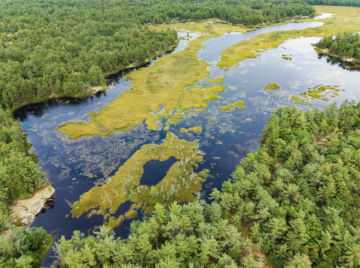
For the past two years, our Corridor Project teams have spent months hiking hundreds of kilometres through the bogs, forests, and rocks of the Georgian Bay backcountry, collecting data for conservation. What have they seen and learned along the way, and what new technologies are they deploying to gather data more effectively?
The Georgian Bay Land Trust’s Corridor Project Coordinator Adam Grottoli will take us through the team’s work so far, including the unique challenges of monitoring large, remote landscapes, and the way drone technology is changing our landscape mapping capabilities. Come learn more about the goals of the Corridor Project and what this work looks like on the ground!